Project Information
- Funding/Details: ARIS GRAVITY project (Workpackage Leader)
- Duration: 1. 7. 2025 - 30. 6. 2028
- Website: https://geoai.si/
Description

The Geospatial Information Technologies for Resilient and Sustainable Society (GeoAI) project integrates geospatial science with advanced artificial intelligence and big data to enable smart, data-driven spatial decision-making. Key research activities led by our lab (led by Ciril Bohak) focus on point cloud processing, web-based 3D visualization, and immersive Extended Reality (XR) technologies.
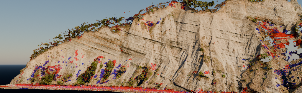
In the machine learning domain, we lead Task 3.2, developing innovative semantic segmentation and classification methods for point clouds. By combining image-based segmentation with deep learning and adapting foundation models, the task aims to achieve detailed, semantically rich object representations under label scarcity.
To enable interactive data exploration, Task 4.3 focuses on large-scale point cloud visualization and editing. We are developing a multi-resolution visualization framework based on 3D Gaussian Splatting (3DGS) that supports progressive, web-based streaming of massive country-scale datasets, complete with interactive point cloud editing and inpainting toolkits.
Finally, Task 4.5 leverages collaborative Virtual Reality (VR) and XR technologies to bridge the gap between technical data and practical urban planning. This immersive interface allows stakeholders to collectively explore, evaluate, and refine automatically generated 3D city models and spatial analytics in real time.